
Hydrographic Survey: Mapping the Seabed as a Career
Hydrographic surveyors map the seabed for charts, ports and offshore wind. What the work involves, the qualifications that count, and why UK demand is rising.

Marine engineering, naval architecture, survey technology and digital systems on board.
Hydrographic surveyors map the seabed for charts, ports and offshore wind. What the work involves, the qualifications that count, and why UK demand is rising.

Ships are now networked industrial sites. What maritime cyber security involves, why IMO rules made it mandatory, and how people move into the field from IT or from sea.
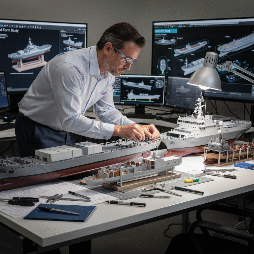
Naval architects design what floats. What the work actually involves, where UK naval architects are employed, the degree and chartership route, and where demand is growing.

ROVs, AUVs and resident systems explained: what the work involves, which sectors are hiring, what an ROV pilot technician really does, and how to get into the field.
Metacentric height, righting levers, free surface effect and damage stability explained practically, with the recurring ways ships become unstable and the careers involved.
What marine engineers actually do, how maintenance and propulsion are changing, where engineers land ashore, and which study is worth doing at which stage.
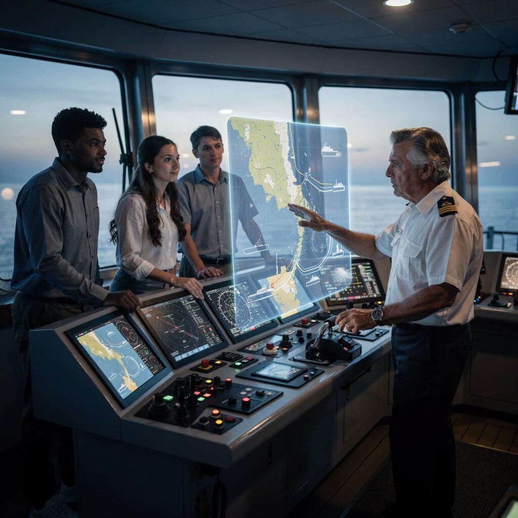
Why Digital Maritime Competence Is Now a Core Employability Signal Maritime operations have always been technology-forward, but in the last