
Dr. Marina AlcoverAcademic director focused on measurable results and operational excellence in maritime education. Integrates IMO/STCW regulations and ISO 21001/9001 f

courseThis course provides you with the essential skills for safe and accurate navigation. Learn to interpret nautical charts, master GPS positioning systems, and combine them effectively to plan and execute your voyages. This…
These are the skills this programme builds. Tick the ones you already have and we will tell you which part of the syllabus is really for you.
The Using Nautical Charts and GPS
course
This course provides you with the essential skills for safe and accurate navigation. Learn to interpret nautical charts, master GPS positioning systems, and combine them effectively to plan and execute your voyages. This course is ideal for both recreational sailors and maritime professionals looking to update and consolidate their knowledge of traditional and modern navigation.
Key Benefits
The programme is structured in 5 modules, listed below in order of study.
300 hours of study, online and at your own pace. Move the slider to the hours a week you can really put in.
Recreational and professional boaters looking to master traditional and modern navigation, integrating nautical charts and GPS.Nautical students and sea enthusiasts wanting to acquire a solid foundation in navigation, from basic principles to advanced technology use.Recreational and fishing boat skippers needing to update their knowledge and get the most out of their navigation equipment.Mar
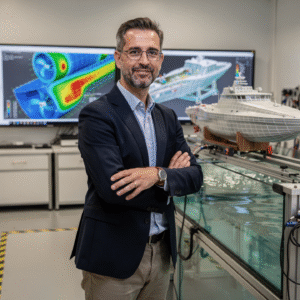
The teaching team at Navalis: working professionals who deliver and oversee the institute's programmes.




Reviews collected and verified by Opynio, not written by us.
No waiting for a phone call. If your documents are complete, you can pay in the same session.
Academic/Professional Profile:Basic knowledge of maritime navigation and nautical geography; or practical experience on recreational or professional vessels.Prior Knowledge:Familiarity with the concepts of latitude, longitude, bearings, and distances at sea.Required Materials:Nautical calculator, protractor, parallel ruler (optional), pencils, and eraser.Documentation:ID/Passport.```
Leave your details and admissions will write back. If you already know this is the one, go straight to the application and pay in the same session.
All of these are in the same subject area. The scope, the hours and the fee change, the subject does not.
Other courses in Nautical and Marine Operations.
Same subject, a different scale and fee.
Same subject, a different scale and fee.